Skip to content

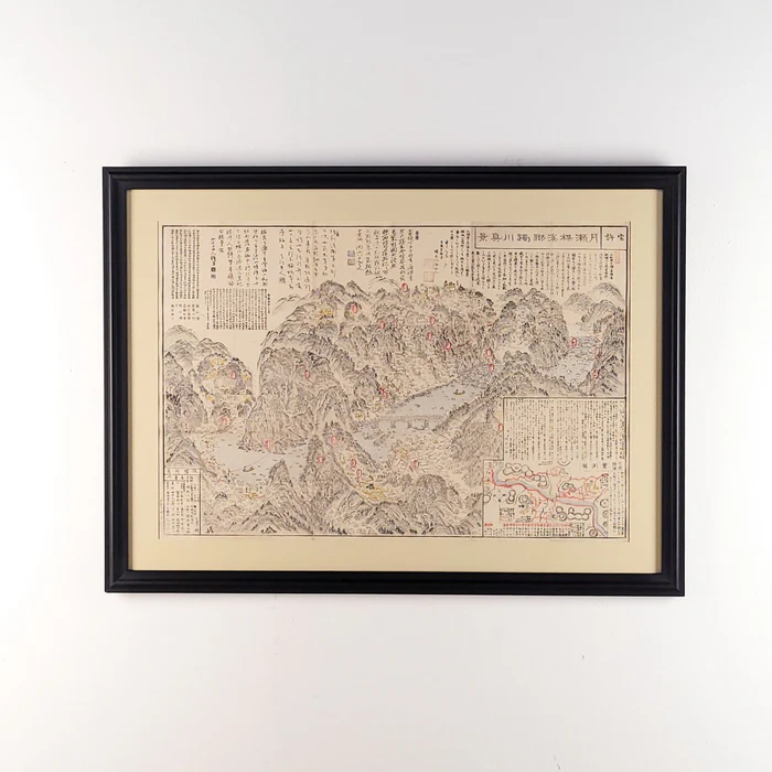
19th Century Map of Part of Japan

Original price $495.00 - Original price $495.00
Original price
$495.00
$495.00 - $495.00
Current price $495.00

21.5" h x 32" w x 0.75" d

An intricate 19th century Japanese woodblock map, likely a Nihon zenkoku dochu ezu, depicting the nation's complex road networks, castle towns, and essential travel infrastructure. The delicate hand-colored details and dense topographical information reflect a society in transition, captured with the meticulous craftsmanship that defined the late Edo period’s golden age of cartography.

Circa 1850, this original period work was produced during a time when travel and domestic commerce flourished across the Japanese archipelago.

Printed on traditional washi paper from hand-carved woodblocks and finished with soft mineral pigments. Rooted in the Japanese woodblock tradition, this map reflects the cultural importance of the journey, serving as both a practical guide and a beautiful record of a landscape viewed from the road.

Please call ahead, as some items may be in our warehouse and require an appointment for viewing.